Cape Haze Aquatic Preserve
NEWS | RESOURCES | CALENDAR
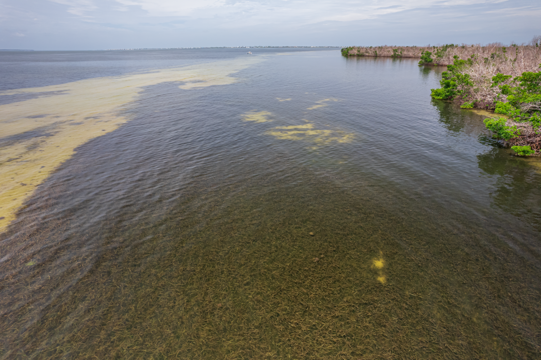
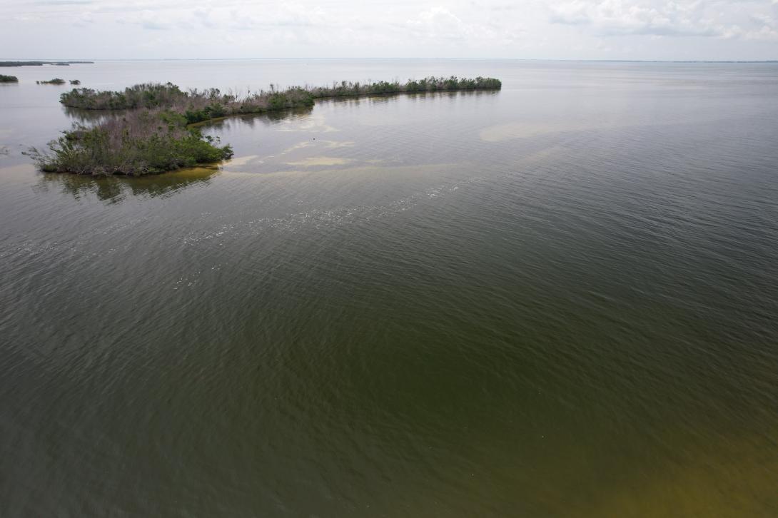
The Cape Haze Aquatic Preserve boundary encompasses approximately 12,700 acres, which includes some islands that are not part of the aquatic preserve. It is located on the border of Charlotte and Lee counties, with most of its area falling within Charlotte County. The aquatic preserve covers the waters surrounding the Cape Haze peninsula and includes the eastern portion of Gasparilla Sound, Bull Bay, Turtle Bay and parts of Charlotte Harbor. The aquatic preserve is surrounded on the east, west and south by Gasparilla Sound-Charlotte Harbor Aquatic Preserve. There are two creeks within the aquatic preserve: Catfish and Whidden creeks. The communities closest to Cape Haze Aquatic Preserve are Cape Haze, Placida, South Gulf Cove and Boca Grande.
Charlotte, Lee
1978
12,716
Florida Aquatic Preserve
Open to the public 24/7 dependent on public access points which are managed by other entities.
Fishing, boating, hiking, birding, beach activities
VISITATION INFORMATION
Although there are no developed areas directly adjacent to the preserve, it is possible to reach the preserve from land through the Charlotte Harbor Preserve State Park or by boat or kayak.
Parking
Parking is dependent on each access location.
Boat Access/Ramps
Facilities
The preserve offers no facilities, but nearby marinas and parks will often have restrooms and areas to eat.
Contact
Arielle Taylor-Manges
941-389-5200
Charlotte.Harbor@FloridaDEP.gov
HISTORY
Cape Haze Aquatic Preserve was established in 1978 and is managed as part of the Charlotte Harbor Aquatic Preserves system. In the late 1800s, there were widespread reports of oyster reef degradation in Southwest Florida. By the mid-1900s, studies conducted by the Florida Department of Natural Resources documented a measurable decline in seagrass beds and oyster reefs in the Charlotte Harbor estuaries. At least 90% of oyster reef habitat in the Charlotte Harbor region is estimated to have been lost as a result of dredging, mining for road beds, hydrologic changes and harvesting. Historic ice shacks that were used in commercial fisheries in the early 1900s can still be found in Cape Haze Aquatic Preserve as well. These are now privately owned and should not be trespassed upon.

PUBLIC ENGAGEMENT OPPORTUNITIES
Volunteer Opportunities
Charlotte Harbor Aquatic Preserves has volunteer opportunities with their Charlotte Harbor Estuaries Volunteer Water Quality Monitoring Network monthly water quality program. Sampling sites are located throughout Charlotte Harbor Aquatic Preserve's estuaries. For more information visit DEP's Charlotte Harbor Estuaries Volunteer Water Quality Monitoring Network webpage.
The Friends of the Charlotte Harbor Aquatic Preserves is a nonprofit citizen support organization to support the conservation, restoration, management, responsible public use and the enhancement of the resources of the coastal and aquatic ecosystems within Charlotte Harbor Aquatic Preserves. You can support this important work by donating, becoming a member, volunteer or Board member.
Events
- International Coastal Cleanup is hosted by Keep Charlotte Beautiful.
- Charlotte County Boat Show.

Educational Opportunities
Local ecotour and charter boat businesses provide boat tours and fishing. Aquatic preserves staff provide educational materials, scientific data and outreach presentations upon request.

Conservation Efforts
Protecting the quality and extent of the natural resources within the aquatic preserves is a priority. Staff monitor water quality, seagrass, wading and diving bird nesting efforts and cultural and historical resources to understand background conditions and trends over time. Understanding changes in these ecosystems and their causes is important in order to conduct adaptive management measures. Staff conduct educational presentations and outreach activities to relay the importance of aquatic preserves’ unique resources and how to protect them.

Ongoing Research
Charlotte Harbor Aquatic Preserves has several long-term monitoring programs with over 20 years of data, including Charlotte Harbor Estuaries Volunteer Water Quality Monitoring Program, a volunteer water quality monitoring program, continuous datasonde water quality, seagrass transect monitoring, colonial wading and diving bird nest monitoring and cultural and historical resource monitoring. These datasets are important to understand trends and changes in estuary health over time and can be used together to help tell the unique story of this beautiful preserve. Staff are working collaboratively with partners in research efforts regarding seagrass productivity, water quality and restoration efforts for shellfish, seagrass, mangroves and nesting birds.
Partner Groups
- Charlotte Harbor Aquatic Preserves continuous datasonde data: can be viewed and downloaded at DEP's Florida Aquatic Preserve Program website.
- Charlotte Harbor Aquatic Preserves seagrass monitoring data: can be viewed at CHNEP.WaterAtlas.org.
- Friends of the Charlotte Harbor Aquatic Preserves
- Charlotte Harbor Environmental Center at Cedar Point
- Coastal and Heartland National Estuary Partnership
- Keep Charlotte Beautiful
- Florida Fish and Wildlife Commission's Fish and Wildlife Research Institute
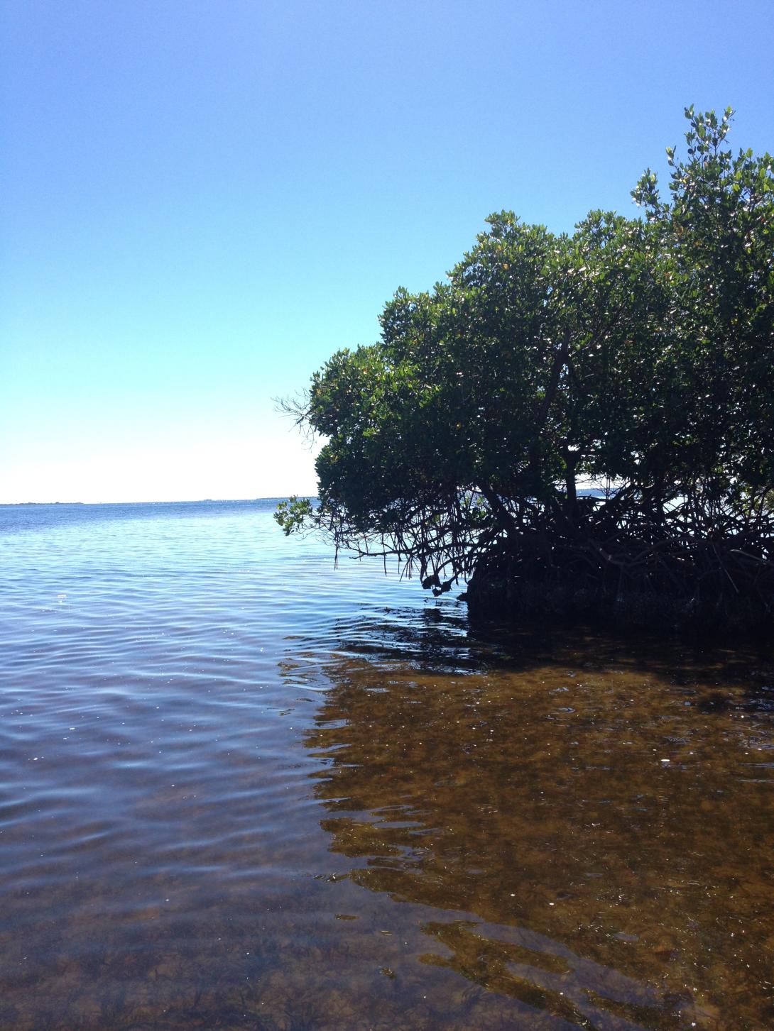
Each of the aquatic preserves within Charlotte Harbor Aquatic Preserves offers a memorable experience visiting protected submerged state lands. Visit any of the five managed aquatic preserves within Charlotte Harbor Aquatic Preserves and you will see healthy mangrove shorelines, seagrass beds and oyster bars. Southwest Florida’s subtropical climate is home to a variety of animals as well, in addition to migrating birds.