St. Andrews Aquatic Preserve
NEWS | RESOURCES | CALENDAR
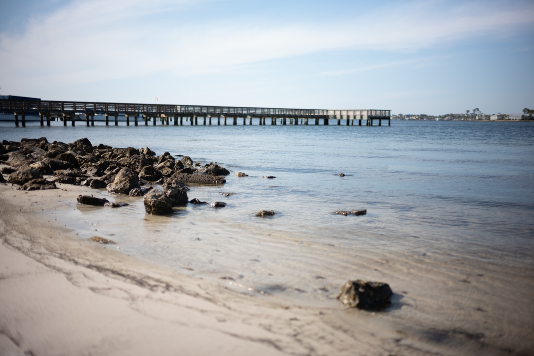
St. Andrews Aquatic Preserve is situated on the northwest coast of Florida, encompassing the entire inlet of St. Andrews Bay. It is located south of Panama City and east of Panama City Beach. The preserve's boundaries extend into the Gulf of America, with its southern boundary reaching approximately 3 miles offshore.
Bay
1972
24,116
Open 24/7 dependent on public access points which are managed by other entities.
St. Andrews Aquatic Preserve is a large estuary with limited freshwater inflow from spring-fed tributaries. It is located within the larger St. Andrews Bay system, a series of bays and lagoons.
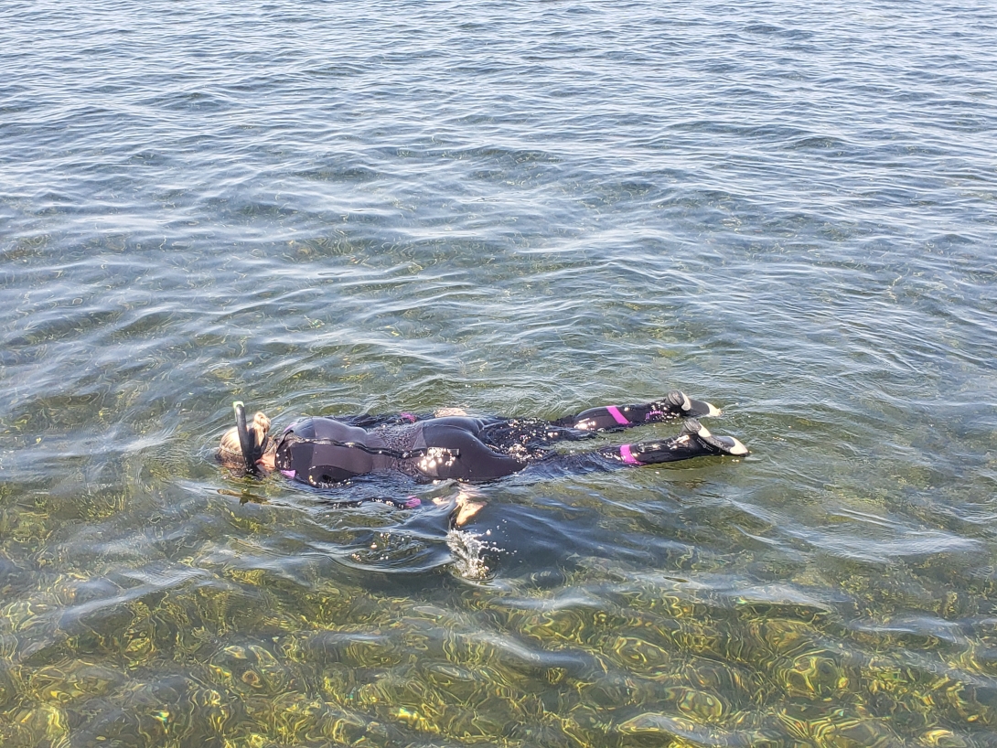
Fishing, boating, swimming, snorkeling, scuba diving, personal watercraft use, sunbathing, kayaking
VISITATION INFORMATION
Parking
Parking is limited at certain access points.
Boat Access/Ramps
- Earl Gilbert Park
- Panama City Marina
- St. Andrews Marina
- Carl Gray Park
- Leslie Porter Wayside Park
- Dolphin Boat Ramp
There are additional ramps near St. Andrews Bay available to use for a fee, including the boat ramp located in St. Andrews State Park.
Facilities
St. Andrews Aquatic Preserve does not have its own visitor center. However, St. Andrews State Park is located nearby and provides various facilities and accommodations.
Contact
Megan Christopher
850-670-7747
Megan.Christopher@FloridaDEP.gov
History
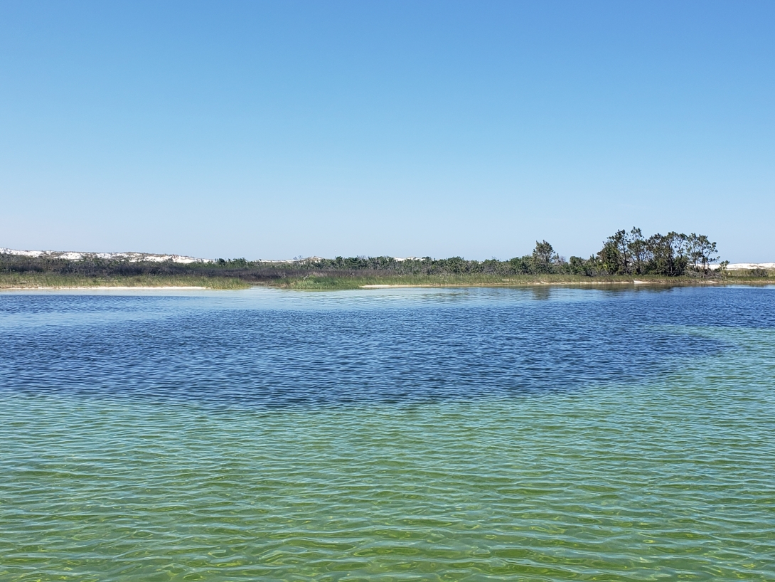
Native Americans once inhabited the shores of St. Andrews Bay, relying on its clear, shallow waters for shellfish gathering. Archaeological evidence, including shell middens and village sites within the adjacent St. Andrews State Park, suggests that the barrier peninsula provided sustenance and shelter for pre-Columbian inhabitants over a millennium ago. In 1972, the Board of Trustees designated the area as St. Andrews Aquatic Preserve to safeguard its natural condition for future generations. This preserve was previously known as the St. Andrews State Park Aquatic Preserve. The bay's remarkable clarity, a result of spring-fed tributaries, low sediment loads and the filtering effects of marshes and seagrasses, contributes to its unique ecological value.

PUBLIC ENGAGEMENT OPPORTUNITIES
Volunteer Opportunities
Volunteer opportunities are available through various organizations that operate in the St. Andrews Bay Watershed and surrounding areas. Volunteer opportunities may include clean-up events, turtle patrol and bird surveys.
Events
International Coastal Cleanup

Educational Opportunities
Staff members distribute informational pamphlets and brochures about the preserve's resources and conservation efforts. An informational kiosk has been installed at the St. Andrews State Park Boat Ramp to enhance visitor awareness.

Conservation Efforts
Key initiatives include:
- Oyster Restoration and Monitoring: Restoration and monitoring of St. Andrews Bay’s once productive oyster reefs aims to encourage the return of a thriving estuary and successful seafood industry.
- Water Quality Monitoring: Regular monitoring of water quality parameters, including nutrients, chlorophyll and turbidity, helps identify potential threats and inform management decisions.
- Seagrass Restoration and Monitoring: Efforts are underway to monitor seagrass health, restore damaged areas and educate boaters about responsible practices to prevent propeller scarring.
- Protection of Listed Species: Monitoring and research efforts focus on the conservation of endangered and threatened species, including shorebird nesting surveys and management strategies in line with federal recovery plans.
Public Education and Outreach: Raising public awareness about the importance of the preserve, responsible use and conservation efforts through signage, events and online platforms plays a crucial role in protecting the ecosystem.

Ongoing Research
- Seagrass Mapping: Using aerial imagery, scientists map the distribution and abundance of seagrass beds to understand their changes over time and guide conservation efforts.
- Water Quality Analysis: Researchers analyze water samples to monitor nutrient levels, algal content and other water quality parameters to assess ecosystem health.
- Benthic Community Studies: Studies of the organisms living on the seafloor provide insights into the overall health and biodiversity of the harbor ecosystem.
- Shorebird Monitoring: Ongoing monitoring of shorebird nesting sites and populations helps to understand their habitat use, breeding success and potential threats.
- Sea Turtle Monitoring: Researchers and volunteers track sea turtle nesting activity, monitor nests and gather data on sea turtle populations to aid conservation efforts.
Partner Groups
- St. Andrew Bay Resource Management Association
- Florida Fish and Wildlife Conservation Commission
- Florida Park Service
- Northwest Florida Water Management District
- Friends of St. Andrew Bay
- Friends of St. Andrews State Park
- U.S. Fish and Wildlife Service
- St. Andrew and St. Joseph Bays Estuary Program
St. Andrews Aquatic Preserve provides a unique opportunity to enjoy the beautiful waters of the Gulf of America and St. Andrews Bay while remaining close to the bustling cultural centers of Panama City and Panama City Beach. Take a dolphin viewing tour, snorkel or scuba dive on The Jetties in St. Andrews State Park and take the shuttle to Shell Island for a day of shelling and sunbathing.