Mosquito Lagoon Aquatic Preserve
NEWS | RESOURCES | CALENDAR
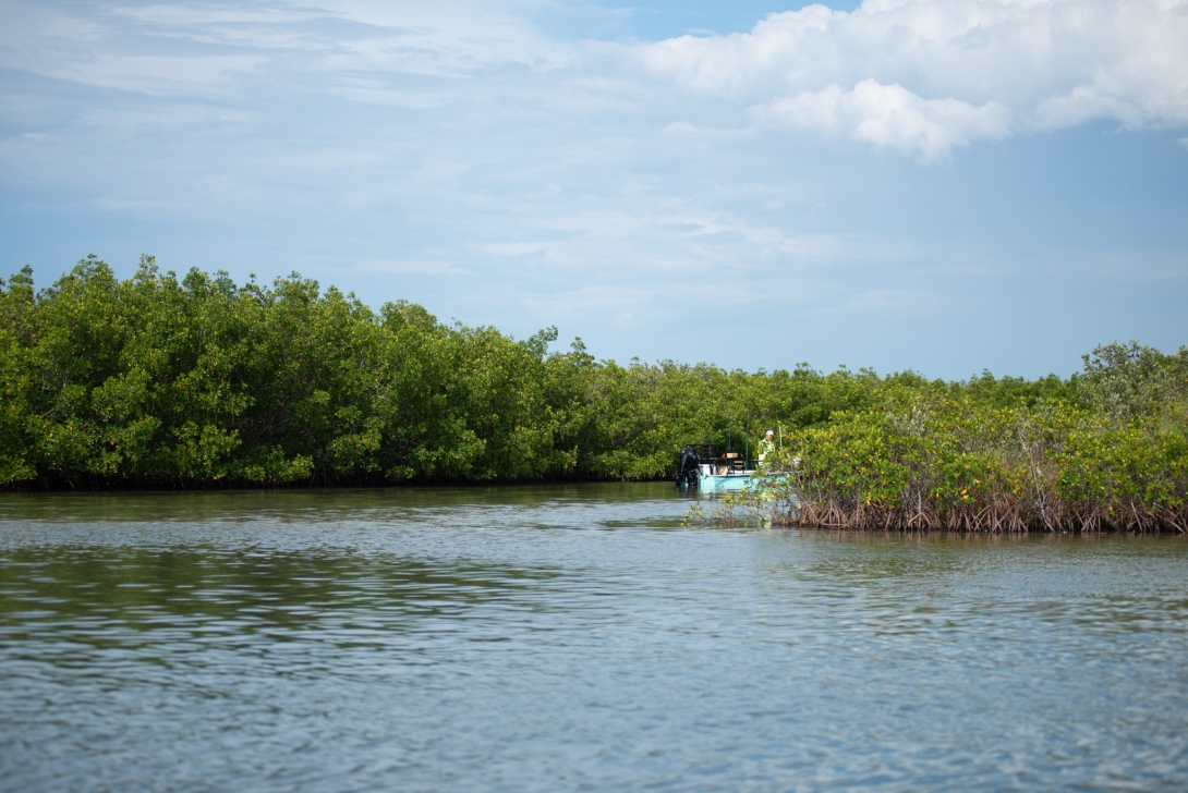
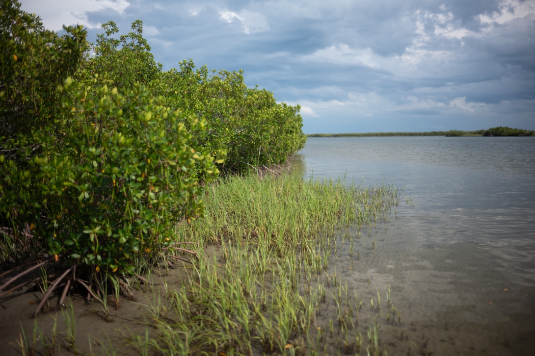
Mosquito Lagoon Aquatic Preserve is in east-central Florida in southern Volusia County south of Ponce de Leon Inlet. It is adjacent to two incorporated municipalities — New Smyrna Beach and Edgewater — and 50 miles northeast of Orlando. It is bounded on the west by the Florida mainland and on the east by a chain of barrier islands.
Volusia
1970
4,740
Open 24/7 dependent on public access points which are managed by other entities.
A long, wide, shallow estuarine lagoon
Fishing, canoeing, kayaking, motorboating, sailing, birding, nature viewing
VISITATION INFORMATION
Parking
Parking is limited at certain access points.
Boat Access/Ramps
- George Kennedy Memorial Park
- Menard-May Park
- Riverfront Veterans Memorial Park
- Florida Boat Ramp Finder
- Paddling Trails
- FL Coastal Access Guide
Facilities
The aquatic preserve program offers no on-site facilities. Check each access location for available amenities.
Contact
Matthew Anderson
772-448-5930
Matthew.R.Anderson@FloridaDEP.gov
History
The original Mosquito Lagoon Aquatic Preserve boundaries included 28 miles (45 km) of Mosquito Lagoon and encompassed approximately 39,000 acres (158 km2). During the 1960s and again in 1980, much of the submerged bottom was conveyed to the United States of America for development of the U.S. space program at Cape Canaveral and the expansion of Canaveral National Seashore. On July 31, 1962, the state dedicated, “… to the exclusive use of the United States all of the land, beach, and water areas ... for so long a period of time as the same may be used or required by the United States for the Manned Lunar Landing Program.” This dedication included the southern part of Mosquito Lagoon, the northern end of Merritt Island and the northern end of the Banana River.

PUBLIC ENGAGEMENT OPPORTUNITIES
Volunteer Opportunities
Volunteers help with activities such as wildlife monitoring, annual seagrass monitoring or microplastic sampling. For more information, please contact our office at IRLAP@FloridaDEP.gov. For other opportunities to help preserve the Indian River Lagoon and surrounding aquatic preserves, consider joining the Friends of the Spoil Islands.
The Island Enhancement Program offers volunteer opportunities within the preserve. This program engages volunteers in various activities, including removing non-native vegetation, planting native species, restoring shorelines and cleaning up trash on the islands. The preserve also collaborates with partners like The Nature Conservancy and the University of Central Florida to recruit volunteers for oyster restoration.
Events
Please contact us at IRLAP@FloridaDEP.gov.

Educational Opportunities
- Canaveral National Seashore - offers educational opportunities such as a visitor information center, guided tours and a field station used by researchers and students.
- Apollo Beach Visitor Center

Conservation Efforts
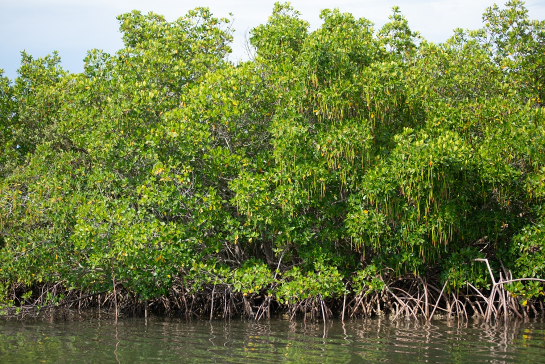
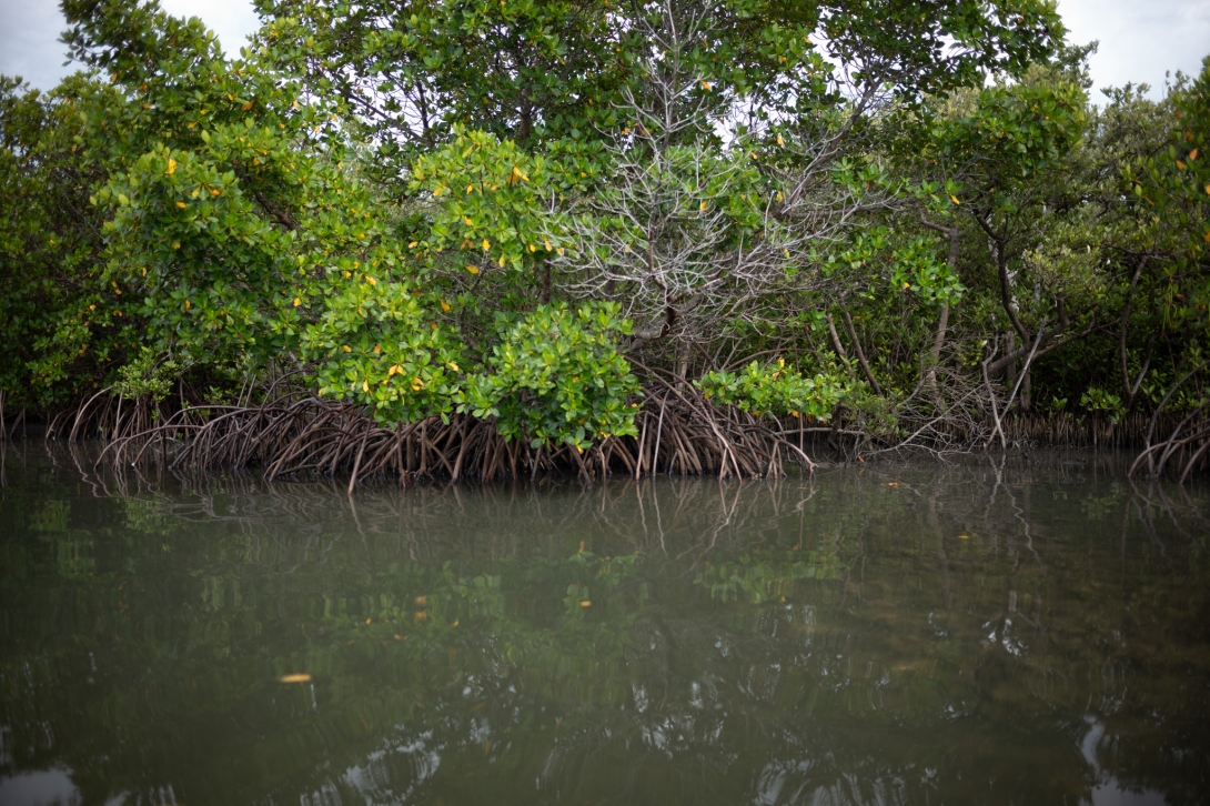
Conservation efforts include protecting bird nesting area, planting mangroves, oyster reef restoration, seagrass restoration and shorebird and seabird research. These research efforts aim to understand the dynamics of the preserve's ecosystem, assess the health of key species and inform management decisions.

Ongoing Research
- Water Quality Monitoring: Volusia County monitors water quality at three sites within the preserve. These efforts collect data on various parameters, including salinity, turbidity and nutrient levels.
- Avian Surveys: The preserve conducts surveys to document bird activity, identify essential nesting and roosting habitats and inform habitat protection and restoration efforts.
- Fisheries-Independent Monitoring Program: This program, conducted by the Florida Marine Research Institute, tracks the abundance and distribution of juvenile fish and macrocrustaceans using seine nets.
- Oyster Reef Mapping: Mapping of existing oyster reefs is ongoing in the southern to middle portions of Mosquito Lagoon, with a recognized need to extend those efforts further north into the preserve.
- Seagrass Monitoring: Monitoring is conducted in collaboration with the St. Johns River Water Management District.
- Invasive Species Monitoring: The preserve is working to document the abundance and distribution of invasive species, such as the Charru mussel, to understand their impact on the ecosystem.
Partner Groups
- Friends of the Spoil Islands
- Marine Discovery Center
- Riverside Conservancy
- St. Johns River Water Management District: Collaborates on seagrass surveys and wetland restoration projects.
- Volusia County Mosquito Control: Partners in wetland restoration efforts and research.
- Canaveral National Seashore: Manages a portion of Mosquito Lagoon and conducts research and monitoring activities within the area.
- Merritt Island National Wildlife Refuge: Participates in restoration efforts.
- University of Central Florida: Conducts research on oyster reef restoration and marsh vegetation recovery.
- The Nature Conservancy: Leads oyster restoration initiatives.
- Fish and Wildlife Research Institute: Conducts the Fisheries-Independent Monitoring Program.
- Coastal Preserves Alliance of East Central Florida: A citizen support organization that provides funding for research and management, as well as volunteers.