Florida Keys National Marine Sanctuary
NEWS | RESOURCES | CALENDAR
The Florida Keys National Marine Sanctuary (FKNMS), also referred to as the Sanctuary, protects 3,800 square nautical miles of waters surrounding the Florida Keys, from Biscayne Bay National Park to the Dry Tortugas, excluding Dry Tortugas National Park and northward to Everglades National Park. The shoreward boundary of the Sanctuary is the mean high-water mark, meaning that once you set foot in waters of the Florida Keys, you have entered the Sanctuary.
Monroe, Miami-Dade
1990
3,800 square miles (65% of which is in state waters)
Public Lands use hours and restrictions are set by managing agencies and should be reviewed for the specific area being visited.
National Marine Sanctuary
Boating, birding, fishing, paddling, wildlife viewing
VISITATION INFORMATION
Parking
Parking is permitted on the right-of-way of US1/SR5 only at designated areas.
Boat Access/Ramps
State managed boat ramps are located at John Pennekamp Coral Reef State Park, Bahia Honda State Park, Little Duck Key, Spanish Harbor, Shark Key and Key Haven.
Facilities
FKNMS's Eco-Discovery Center (35 Quay Road, Key West, FL 33040) is currently open to the public and visiting groups Wednesdays through Saturdays from 9am through 4pm. The visitor center and aquarium at John Pennekamp Coral Reef State Park is located by the main concession building and Cannon Beach. It houses a 30,000-gallon saltwater aquarium with reef fish. There are many smaller aquariums with fish, invertebrates and other marine creatures, including live coral. There is an auditorium where nature videos are played and where special programs or presentations are given. The hours of the center are from 9 a.m. to 5 p.m. daily.
Contact
Nicholas Parr
305-289-7083
Nicolas.Parr@FloridaDEP.gov
History
FKNMS was designated Nov. 16, 1990, following a series of boat groundings on the island chain’s irreplaceable coral reefs and growing concerns about the decline of the reef ecosystem. Today, the sanctuary protects 3,800 square miles of waters surrounding the Florida Keys, from south of Miami westward to the Dry Tortugas, excluding Dry Tortugas National Park. The shoreward boundary of the sanctuary is the mean high-water mark — meaning once you step into the waters of the Keys, you enter FKNMS.
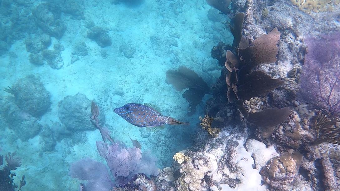
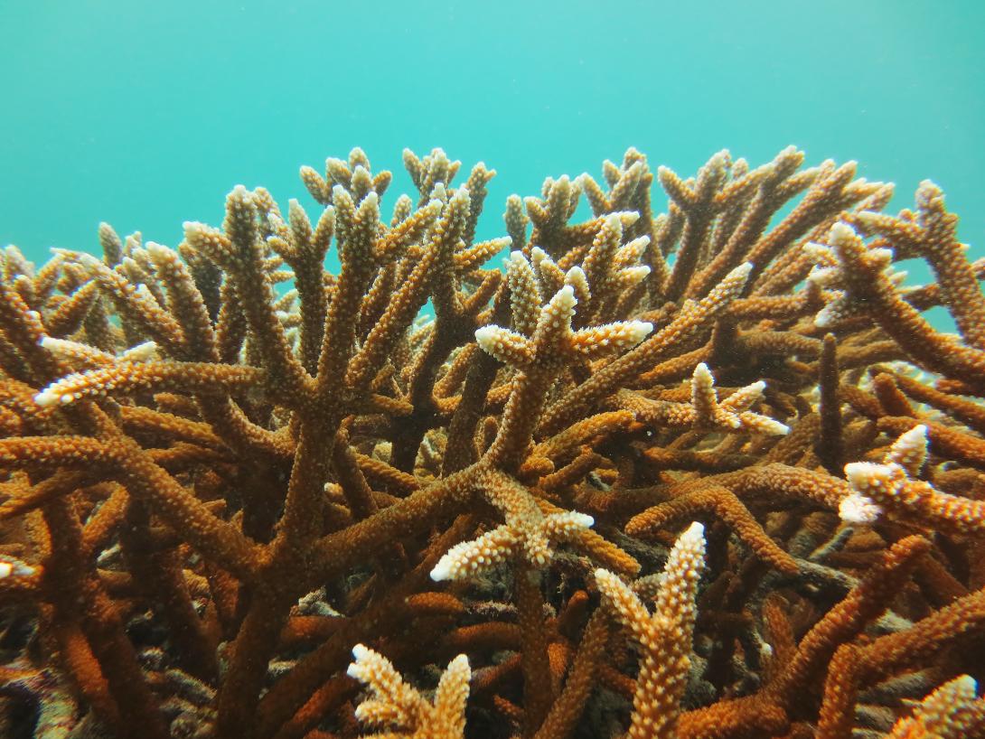
Within its boundaries are unique and nationally significant marine resources, including North America’s only coral barrier reef, extensive seagrass beds, mangrove-fringed islands and more than 6,000 species of marine life. The sanctuary also protects historic resources such as shipwrecks and other archaeological sites.
The sanctuary is jointly managed by the National Oceanic and Atmospheric Administration's (NOAA) Office of National Marine Sanctuaries and the Florida Department of Environmental Protection. Collaborative fisheries management within the sanctuary is handled by NOAA, the Florida Fish and Wildlife Conservation Commission, the South Atlantic Fishery Management Council and the Gulf Council.

Educational Opportunities
FKNMS offers a variety of educational opportunities for all ages, including programs for teachers, students and the general public. These opportunities include exhibits, workshops, lesson plans and more, with a focus on marine science and the unique ecosystem of the Florida.

Conservation Efforts
FKNMS is actively engaged in various conservation efforts to protect its diverse marine ecosystems. These efforts focus on restoring and protecting coral reefs, seagrass beds and other vital habitats, as well as improving water quality and managing human activities within the Sanctuary.

Ongoing Research
- Condition Reporting
- Integrated Ecosystem Assessment
- Coral Reef monitoring
- Seagrass monitoring
- Water Quality Monitoring
- Socioeconomics
Partner Groups
- Florida Fish and Wildlife Conservation Commission
- U.S. Fish and Wildlife Service
- NOAA
Last week, DEP participated in the third annual ReeFLorida Symposium at the Philip and Patricia Frost Museum of Science (Frost Science), including leadership from ORCP and the Southeast Region and staff from the Coral Reef Conservation Program (CRCP).
Noah Singer, Ecosystem Assessment Specialist, and Robin Sarabia, AP Manager, of the Florida Keys Aquatic Preserve, met with representatives from SeaBase and SeaCamp to initiate the beginning stages of a partnership with both the organizations. These organizations host camp and school groups throughout the year to provide marine science-based activities to children of all ages.
On October 25, Noah Singer, Marine Debris and Outreach Specialist, of the Florida Keys Aquatic Preserve (FKAP) team participated in a beach cleanup organized by CoastLove, a non-profit conservation organization in South Florida. He was one of 40 attendees who collected over 800 lbs. of trash in just under 3 hours. Over half the volunteers were youth from the local community!
