Flagler, Volusia
1970
2,800
Public lands use hours and restrictions apply. Office hours are 8 a.m. to 5 p.m.
Estuarine system
Boating, fishing, kayaking, canoeing, bird-watching, nature photography
VISITATION INFORMATION
Parking
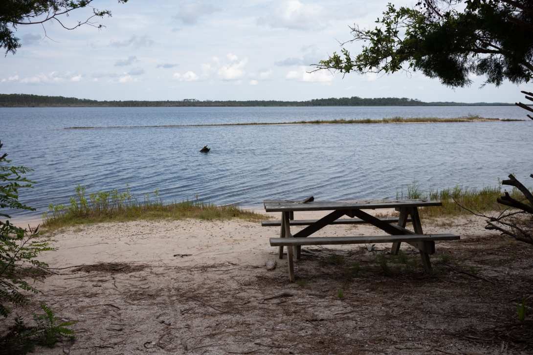
Parking to access Tomoka Marsh Aquatic Preserve is available at Tomoka Marsh State Park, Gamble Rogers Memorial State Recreation Area and Bulow Creek State Park.
Boat Access/Ramps
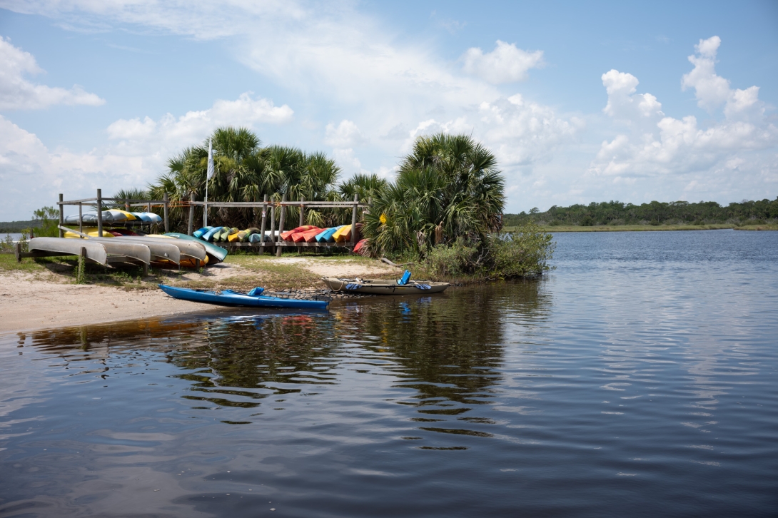
Boat ramps are conveniently located at Bulow Plantation Ruins Historic State Park, Tomoka Marsh State Park and Gamble Rogers Memorial State Recreation Area. Canoe rentals are available at Tomoka Marsh State Park.
Facilities
Please contact Tomoka Marsh State Park, Gamble Rogers Memorial State Recreation Area or Bulow Creek State Park for available amenities.
Contact
John VanBergen
407-417-6200
John.VanBergen@FloridaDEP.gov
History
The Tomoka Marsh Aquatic Preserve region has a long and rich history, with evidence of human utilization of the area's waterways dating back at least 7,000 years. Numerous historic sites located on public lands adjacent to the preserve represent changing prehistoric cultures, the development of European colonial plantations and the growth of coastal Florida in the 20th century. Spanish navigator Alvaro Mexia charted the inland waterways along the east coast south of St. Augustine in 1605. His narrative described a large Native American settlement called Nocoroco located along the southern reach of what is now known as the Tomoka Basin. A century later, the Timucua people had vanished from the Tomoka area, leaving archaeological remains that characterize the site of Nocoroco today.

PUBLIC ENGAGEMENT OPPORTUNITIES
Volunteer Opportunities
Volunteer opportunities in the Tomoka Marsh Aquatic Preserve focus on shoreline cleanup events.
Events
Conservation Efforts
- Salt Marsh Restoration Projects: Restoration projects, like backfilling dragline ditches in the marshes, aim to enhance the health and functionality of salt marsh habitats. These efforts improve water flow, reduce mosquito breeding grounds and support diverse plant and animal communities.
- Diamondback Terrapin Monitoring: Monitoring programs track the population dynamics and nesting success of diamondback terrapins, an important indicator species for the health of the estuary. Data collected helps inform management strategies to protect this species from threats like habitat loss and predation.
- Invasive, Non-native Species Control: Efforts to control invasive species, such as water hyacinth, hydrilla, Brazilian pepper and torpedo grass, help preserve native plant communities and prevent the disruption of ecological balance. Removing these invasive plants creates space for native species to thrive and supports the overall health of the ecosystem.
- Water Quality Improvement: Collaborating with entities like the St. Johns River Water Management District to implement strategies aimed at improving water quality, including addressing nutrient levels and other pollutants. These efforts are crucial for maintaining a healthy environment for aquatic life and ensuring the long-term sustainability of the ecosystem.
- Public Education and Outreach: Educating the public about the importance of the preserve, the threats it faces and ways to minimize their impact helps foster responsible stewardship and support for conservation initiatives.

Ongoing Research
- Juvenile Fisheries Assessments: Multi-year assessments conducted to study the fish and invertebrate populations in the Halifax and lower Tomoka rivers, providing valuable data for fisheries management and understanding the ecological dynamics of the estuary.
- Water Quality Monitoring: Continuous monitoring of water quality parameters like turbidity, chlorophyll levels, nutrients and dissolved oxygen, providing crucial information for assessing the health of the ecosystem and identifying potential areas of concern.
- Diamondback Terrapin Surveys: Studies tracking the distribution, abundance and nesting success of diamondback terrapins, contributing to conservation efforts for this threatened species.
- Oyster Habitat Mapping: Research mapping the distribution of oyster beds, which play a crucial role in water filtration and habitat provision in the estuary.
- Hydrological Studies: Investigations conducted by the United States Geological Survey and the St. Johns River Water Management District to model creek hydrology, providing insights for managing water flow and potentially creating pocket wetlands.
Partner Groups
- Florida Fish and Wildlife Conservation Commission
- St. Johns River Water Management District
- Florida Park Service
- U.S. Geological Survey
- East Coast Diamondback Terrapin Group
- Aquatic Preserve Alliance of Central Florida
- Local county governments
As the manager of Tomoka Aquatic Preserve, I am proud to oversee this incredible natural resource that is integral to Florida’s ecological health and beauty. Our preserve is a vibrant and diverse ecosystem, offering a sanctuary for a wide variety of plant and animal species, while providing valuable recreational opportunities for our community and visitors.